LEFT ROMEA NONANTOLANA ROUTE
This route, which is also accessible by car, starts at Castelvetro, in the middle of the Modena hills.The itinerary, which in its final stages coincides with the cycling route (left Romea Nonantolana route), runs along the road used in medieval times by merchants and pilgrims, as documented in an agreement between the municipalities of Modena and Pistoia of 1225.
The itinerary, approximately 72 km long, includes some of the main castles and religious monuments of the medieval period.
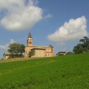
Once left the centre of Castelvetro, the route first reaches the picturesque village of Levizzano Rangone and then continues along the valley of the Guerro river where, just before Ospitaletto, we can see the characteristic and unique geological phenomenon of the "salse".The route then goes through Ospitaletto, San Dalmazio (along the SP 21 road), and through Sant'Antonio (along the SP 36) and soon after reaches the town of Pavullo nel Frignano.
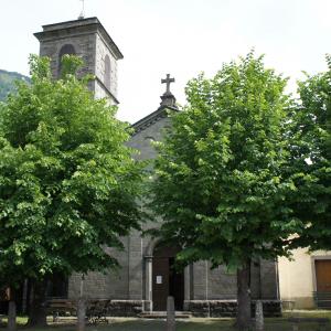
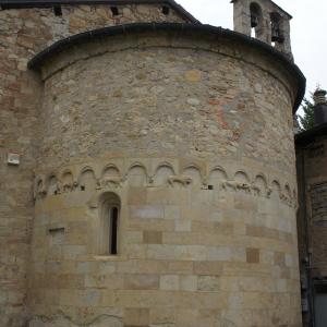
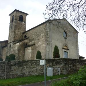
After admiring the medieval church of San Vincenzo, in the southern outskirts of Pavullo, we continue along a scenic road leading to Gaiato, after which we take a steep twisting downhill road leading to the Val di Sasso bridge over the Scoltenna torrent, then climb up to the village of Rocchetta Sandri and finally, along a road affording in places beautiful views over the Apennine ridge, we reach Fanano.
The last stage runs along the whole length of the valley of the Ospitale torrent, leading to the historic Pass of Croce Arcana, at an altitude of 1675 m. The last stretch of the route, leading to the Apennines pass, is particularly impressive, with grand views over both Emilia-Romagna valleys and, from the Pass, Tuscan ones.

 View Interactive Map


