THE ALBURNI MOUNTAINS ROUTE
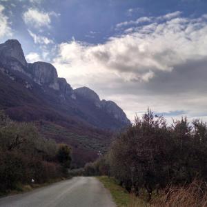
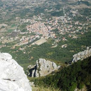
The Alburni Mountains route is one of the three secondary routes to the main Via Popilia one, and corresponds to one of the three areas into which the LAG area The Paths of Living Well can be divided.
The Via Popilia route, in the Postiglione area, crosses the towns of Postiglione, Controne, Castelcivita, Ottati, Sant'Angelo a Fasanella, Corleto Monforte and finally reaches San Rufo, where it connects with the Vallo di Diano LAG area. Along this stretch you can visit the churches of Santa Maria del Cardoneto in Ottati and the Cave of San Michele at Sant'Angelo in Fasanella.
The second branch of the Albruni route leaves from Corleto Monforte and crosses the towns of Roscigno, Bellosguardo and Aquara and then joins the Via Popilia route again, in the Postiglione area. The third branch leaves from the Via Popilia section of the route in the municipality of Petina, crosses Petina and Sicignano degli Alburni and then joins with the Via Popilia route again at the hamlet of Scorzo, in the municipality of Sicignano degli Alburni.
The total length of the route is 122 km.

 View Interactive Map


